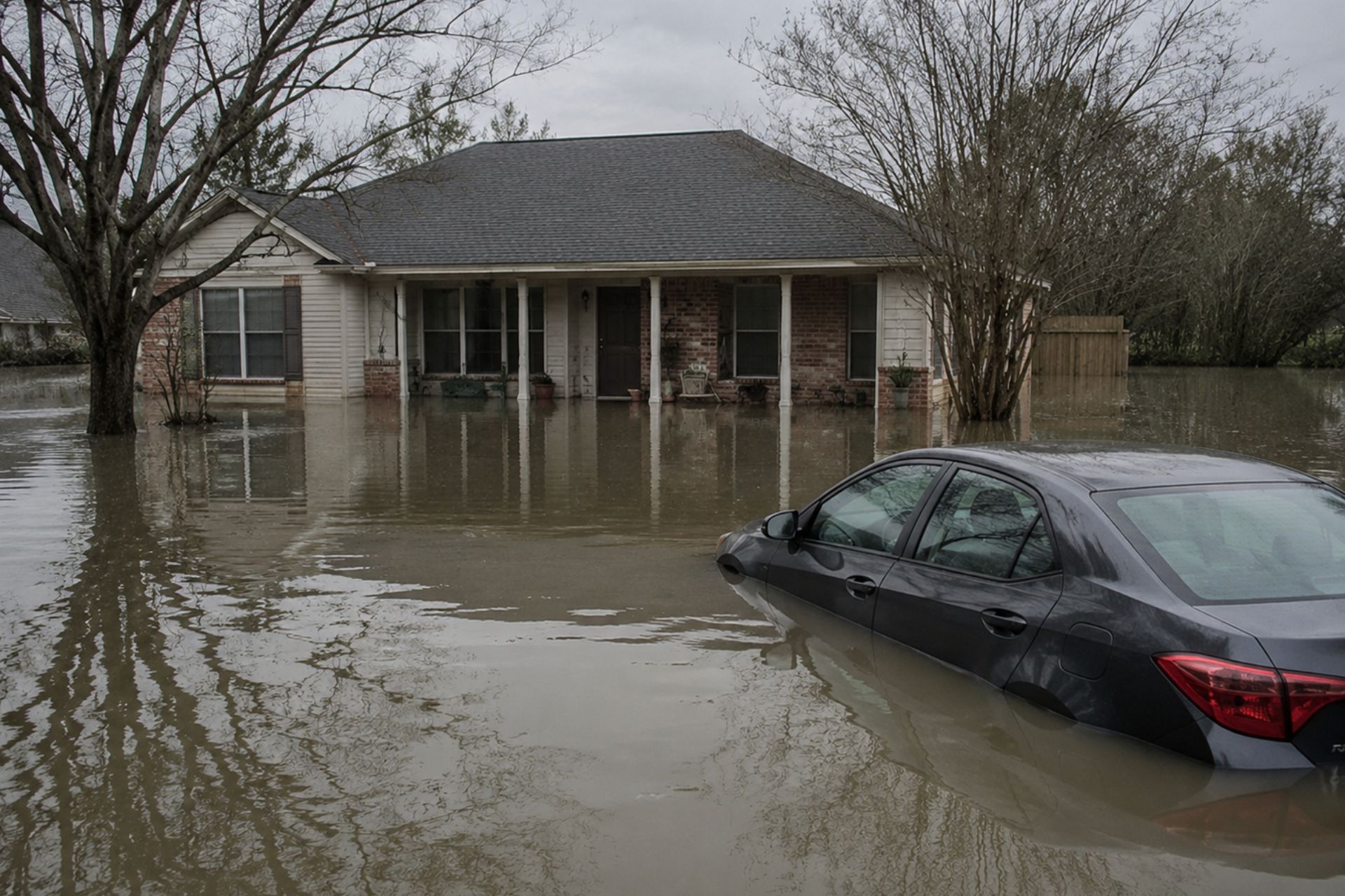

A single flood claim can cost a Louisiana homeowner tens of thousands of dollars, and the difference between an affordable insurance premium and a painful one sometimes comes down to a single document: the elevation certificate. If you own property in New Orleans, Mandeville, or anywhere along the Gulf Coast, understanding what an elevation certificate measures, who can prepare one, and whether it's still worth the investment under FEMA's Risk Rating 2.0 system could save you real money. This guide breaks down everything you need to know about elevation certificates and when you actually need one, from the technical details of the form itself to the strategic reasons you might order one in 2026.
Your property's relationship to flood risk isn't just about whether you're "in a flood zone." It's about precise measurements, verified data, and how your insurer interprets that information. The rules have changed significantly since FEMA rolled out its updated rating methodology, and many homeowners are confused about whether the old playbook still applies. Let's clear that up.
Understanding the Basics of an Elevation Certificate
An elevation certificate, or EC, is a standardized FEMA form (currently FEMA Form FF-206-FY-22-152) that records the physical elevation of a building relative to the ground and to the Base Flood Elevation (BFE) in its area. It's not an opinion or an estimate. It's a precise, field-verified measurement that documents exactly how high your structure sits compared to the level floodwaters are expected to reach during a 1%-annual-chance flood event.
The form also captures building characteristics like the type of foundation, the location of utility equipment, and whether the structure has a basement or enclosure below the lowest floor. All of these details feed into how your flood insurance premium gets calculated.
What the Document Measures and Records
The core measurement on an EC is the lowest floor elevation of your building, expressed in feet relative to a fixed vertical datum (usually NAVD88). The surveyor records the elevation of the lowest adjacent grade, the top of the bottom floor, and any machinery or equipment servicing the building. For properties in a Special Flood Hazard Area, the form also notes the BFE so insurers can compare your building's elevation to the expected flood level.
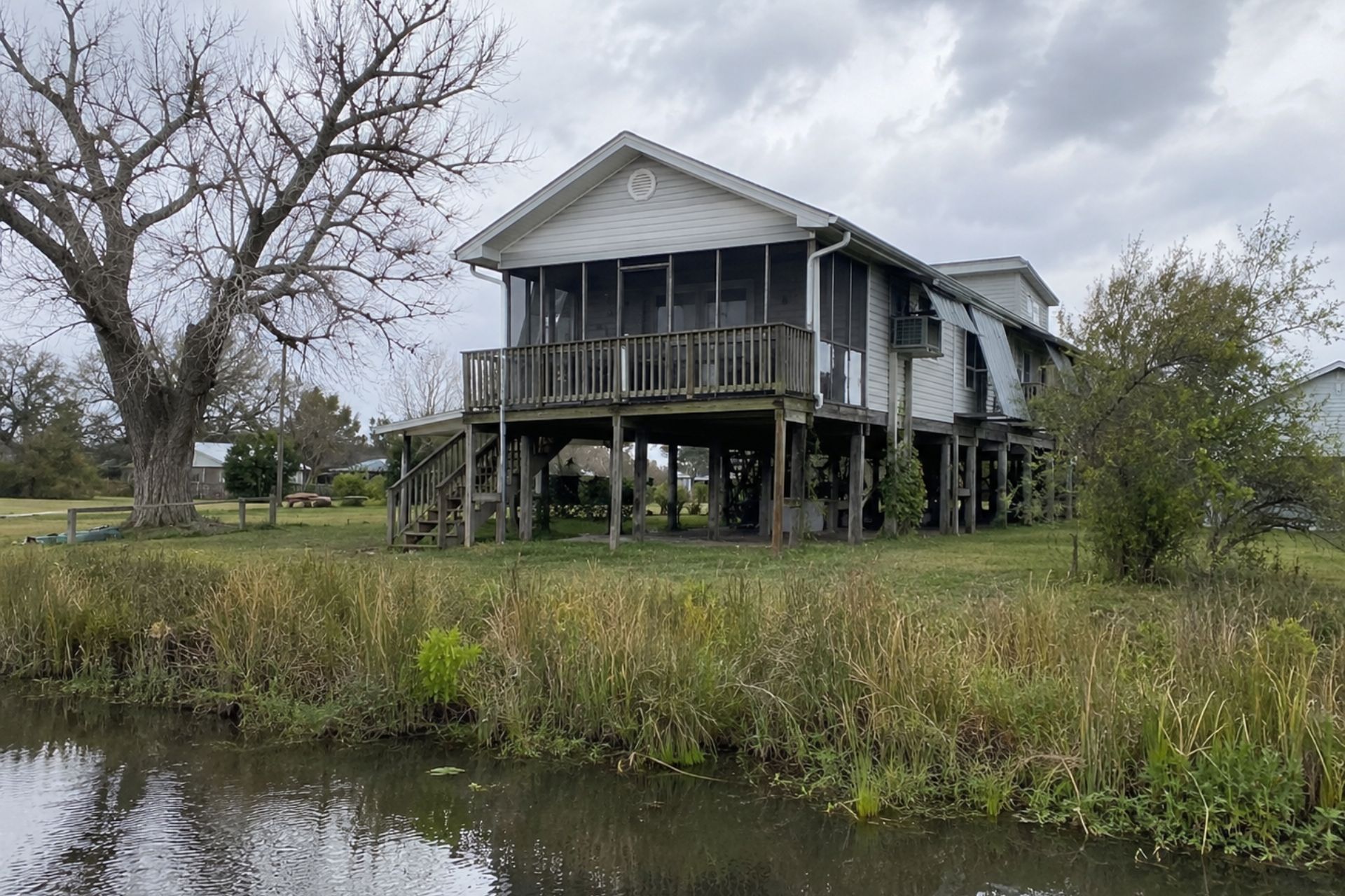
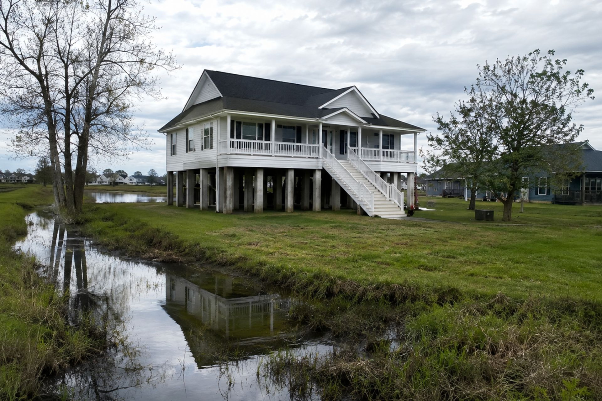
The EC includes a building diagram section where the surveyor identifies which of roughly a dozen standard configurations matches your structure: slab-on-grade, crawlspace, elevated on pilings, and so on. This matters because a home elevated on piers three feet above BFE carries a very different risk profile than a slab-on-grade home sitting at BFE. A complete elevation certificate checklist shows every data point the form requires.
Who Is Qualified to Issue an EC
Only a licensed land surveyor, registered professional engineer, or architect (where authorized by state law) can complete and certify an elevation certificate. In Louisiana, this typically means a Professional Land Surveyor (PLS) registered with the state board. The professional must physically visit your property, take measurements using survey-grade equipment, and sign the form under penalty of law.
You can't fill out the form yourself, and your insurance agent can't do it either. The surveyor's license number and signature are required fields. If a form is missing these, FEMA and your insurer won't accept it.
Flood Insurance Ratings Before and After Risk Rating 2.0
FEMA's shift to Risk Rating 2.0, which began phasing in during 2021 and became fully effective for all NFIP policy renewals by April 2023, fundamentally changed how flood insurance premiums are calculated. Understanding this shift is critical for any homeowner wondering whether an elevation certificate still matters.
The Shift from Flood Zones to Individual Risk Profiles
Under the old system, your premium depended heavily on two things: your flood zone designation and how your building's elevation compared to the BFE on FEMA's Flood Insurance Rate Map (FIRM). If your EC showed your lowest floor was two feet above BFE, you got a significant discount. Simple.
Risk Rating 2.0 takes a broader view. FEMA now considers multiple flood risk variables including distance to a water source, flood frequency, flood type (river overflow, storm surge, coastal erosion, heavy rainfall), building replacement cost, and elevation. Your flood zone still plays a role, but it's one input among many rather than the dominant factor.
Comparison: Traditional Rating vs. Risk Rating 2.0
| Factor | Traditional Rating | Risk Rating 2.0 |
|---|---|---|
| Primary driver | Flood zone + elevation relative to BFE | Multiple variables including elevation, distance to water, flood type |
| Role of EC | Required for most rating scenarios | Not required, but can still influence premium |
| Zone importance | Dominant factor | One of many inputs |
| Building cost | Minor role | Significant factor |
| Flood source type | Not differentiated | Storm surge, fluvial, pluvial rated separately |
| Premium equity | Homes in same zone paid similar rates | Homes in same zone can pay very different rates |
When an Elevation Certificate Still Directly Affects Your Premium
Even under Risk Rating 2.0, elevation remains one of the most influential variables in FEMA's pricing model. The difference is that FEMA now uses its own elevation data sources, including USGS datasets and 3D elevation models, rather than relying solely on a homeowner-provided EC.
Here's where it gets interesting for Louisiana property owners. FEMA's datasets aren't perfect. The agency's elevation estimates can be off by several feet in areas with dense tree cover, recent construction, or complex topography. If FEMA's model thinks your home sits lower than it actually does, you could be paying a higher premium than you should.
An EC gives you ground-truth data. If the surveyed elevation is more favorable than what FEMA estimated, submitting the certificate to your insurer can result in a meaningful premium reduction. Flood insurance premiums in parts of New Orleans and Mandeville can run several thousand dollars annually, so even a modest correction can pay for the cost of the certificate within the first year.
Strategic Reasons to Order an EC Today
Not everyone needs an elevation certificate, but several specific situations make ordering one a smart financial move in 2026.
Appealing Inaccurate FEMA Data
If your flood insurance premium seems disproportionately high compared to your neighbors' or your own understanding of your property's flood risk, inaccurate elevation data in FEMA's model may be the culprit. An EC provides certified evidence you can submit to your insurer or use in a formal appeal. At Chabert Insurance: The Ehrhardt Agency, we've seen cases where homeowners in Mandeville discovered FEMA's estimated elevation was off by more than a foot, resulting in hundreds of dollars in annual savings once the correct data was submitted.
Compliance for New Construction and Substantial Improvements
Local floodplain management ordinances in Louisiana require an elevation certificate for any new construction or substantial improvement in a Special Flood Hazard Area. "Substantial improvement" generally means any renovation where the cost equals or exceeds 50% of the building's market value. Your local permitting office will need the EC before issuing a certificate of occupancy, and FEMA's collection requirements for elevation data reinforce this obligation.
If you're building or significantly renovating in New Orleans or the surrounding parishes, skipping this step isn't an option.
Securing a Letter of Map Amendment (LOMA)
A LOMA is FEMA's official determination that your property has been incorrectly included in a Special Flood Hazard Area. If your home sits on naturally high ground that was mapped into a flood zone, a LOMA can remove the mandatory flood insurance purchase requirement tied to your federally backed mortgage.
You'll almost always need an EC to support a LOMA application. The certificate proves your lowest adjacent grade or lowest floor elevation is at or above the BFE. Homeowners who successfully obtain a LOMA can save thousands over the life of their mortgage by eliminating or reducing their flood insurance obligation.
Common Questions About Elevation Certificates
Do I need a new certificate if I already have one from a previous owner?
Generally, no. An EC stays valid as long as the building hasn't been modified in ways that change its elevation or lowest floor. If the previous owner's EC is on the current FEMA form version and reflects the building's present condition, your insurer should accept it. Check with your agent to confirm.
How much does it typically cost to get an EC?
The national average for a residential elevation certificate in 2026 is approximately $600, though costs vary. Simple single-family homes on standard lots tend to fall in the $400 to $700 range. Complex coastal or commercial structures often exceed $1,000. In the New Orleans metro, expect to pay toward the middle or upper end of that range due to demand and site complexity.
Will my insurance rates go up if the EC shows my home is lower than expected?
It's possible, though unlikely to cause a dramatic spike under Risk Rating 2.0 since FEMA already uses its own elevation estimates. If the certified elevation closely matches FEMA's data, your rate won't change. If it reveals your home is lower than FEMA assumed, your premium could increase. That said, you're not required to submit an unfavorable EC to your insurer.
Can I use a drone or smartphone app to create my own certificate?
No. An elevation certificate must be completed by a licensed professional using survey-grade equipment. Consumer-grade tools don't meet the accuracy standards required, and FEMA won't accept a form that isn't signed and sealed by a qualified surveyor or engineer. There's
no shortcut for this process.
How long does the certification process usually take?
Most residential ECs take one to three weeks from scheduling to delivery. The field visit itself usually takes an hour or two. Processing time depends on the surveyor's workload and how quickly they can access benchmark data for your area. During hurricane season or after a major flood event, expect longer turnaround times as demand spikes.
Making the Right Choice for Your Property
An elevation certificate isn't a magic bullet, but it remains one of the most concrete tools you have for understanding and potentially reducing your flood insurance costs. Under Risk Rating 2.0, the document's role has shifted from mandatory pricing input to powerful verification tool, one that can correct FEMA's assumptions when they don't match reality.
If you're building new, renovating substantially, pursuing a LOMA, or simply suspicious that your premium doesn't reflect your actual risk, ordering an EC is worth the investment. For many homeowners across New Orleans and Mandeville, the math works out clearly: spend $600 once, save hundreds per year.
The team at Chabert Insurance: The Ehrhardt Agency can help you evaluate whether an elevation certificate makes financial sense for your specific property and walk you through the process of submitting it to your insurer. Understanding your flood risk with precision, not guesswork, is the foundation of smart coverage decisions in Louisiana.

About the Author
Ryan J. Ehrhardt
Owner / Licensed Agent
I'm Ryan J. Ehrhardt, owner and licensed agent at Chabert Insurance: The Ehrhardt Agency. I lead our team across our Mandeville and New Orleans offices, and I work with families and business owners every day to find coverage that fits their lives. I believe insurance should be simple to understand, so I take the time to explain your options in plain language before you decide.
As an independent agent, I answer to you, not to a single carrier. That means I can shop your policy across many companies and focus on what protects you best. When you call our office, you reach a real person who knows your account. I would be glad to review your coverage and help you feel confident about it.
Recent Posts